Directions to Pleasant Hill Cumberland Presbyterian Cemetery
Greene County, Alabama
|
|
Cemetery Address |
County Road 181
Pleasant Ridge, Alabama 35462
|
|
Latitude |
32.9784591
|
|
Longitude
|
-87.9769624
|
|
Township/Range/Section
|
T23N R1E S15
|
|
Directions to Cemetery |
I-20/59 to Eutaw exit - go west on highway 14 about .6 miles. Turn right (north) onto highway 181 and continue for 8 miles. Church & cemetery on right side of the road (two entrances off Hwy. 181). GPS coordinates were validated 3/2005.
|
|
Historic Map Reference
|
Historical Atlas of Alabama, Volume 2, Map 37
-NE
|
|
Cemetery Notes
|
This cemetery is also known as Pleasant Hill
|
|
|
|
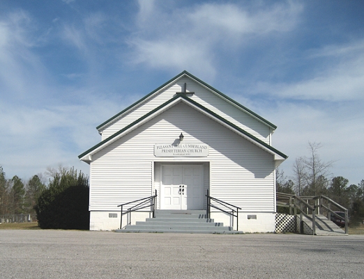
March 2008 Pleasant Hill Cumberland Presbyterian Church
Page 2
|