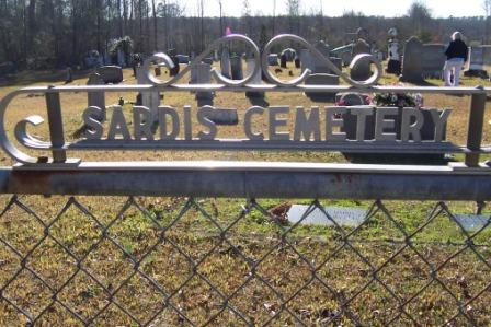
Directions to Sardis Cemetery
Greene County, Alabama
|
|
Cemetery Address |
County Road 117
West Greene, Alabama
|
|
Latitude |
32.9234613
|
|
Longitude
|
-88.1133572
|
|
Township/Range/Section
|
T22N R1W S5
|
|
Directions to Cemetery |
12 miles west of I-20. Take the Eutaw exit and go west on 14 until it splits into SR-39, go straight on SR-39 for .3 miles then right (West) CR-117. You will pass the Ebenezer Cemetery on the right. 6.8 miles from Ebenezer.
|
|
Historic Map Reference
|
Historical Atlas of Alabama, Volume 2, Map 26
-NW
|
|
Cemetery Notes
|
This cemetery is also known as AKA West Greene Cemetery (records by Marshall/Wiese)The Sardis Church was first established in 1830 according to the sign in front of the church. Sardis is 6.8 miles west of the Ebenezer Cemetery.
|
|

|
|
Sardis Cemetery Gate
Page 2
|