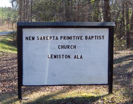
Directions to Screptah Cemetery (partial)
Greene County, Alabama
|
|
Cemetery Address |
46 KM SW of Tuscaloosa
Lewiston, Alabama
|
|
Latitude |
33.0329026
|
|
Longitude
|
-88.031132
|
|
Township/Range/Section
|
T24N R1E S30
|
|
Directions to Cemetery |
I20/59 to Eutaw Exit Highway 14, go west to Pleasant Ridge, right on to Co. Road 60. About 3.75 miles east of 14. About .9 miles west of intersection of 183 and 181.
|
|
Historic Map Reference
|
Historical Atlas of Alabama, Volume 2, Map 4
-NW
|
|
Cemetery Notes
|
This cemetery is also known as Sarepta Cemetery
|
|

|
|
Screptah/Sarepta Sign in front of church at cemetery
Page 2
|